Travel Info
- Routes
- Bridge River Rd/ Lillooet Pioneer Rd
- Distance
- ~ 118 km / 73 miles Maintained gravel road. Be prepared.
- Suggested Trip Time
- 1-3 Days
STOPS ON THIS LEG OF THE GOLD RUSH TRAIL
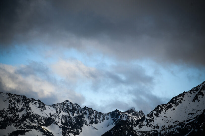
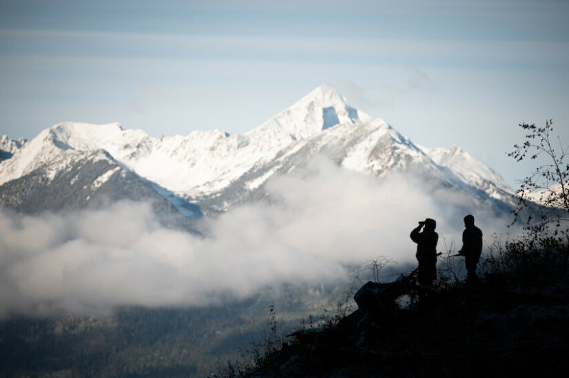
Take a journey through the stunning Bridge River Valley in the south chilcotin mountains.
In 1858, gold was discovered in British Columbia and shortly after steamships started running on both Seton Lake and Anderson Lake. As a result, Seton Portage became a transportation bottleneck, as prospectors would need to portage for 2 km/1.2 mi between the lakes. In 1861, Carl Dozier constructed British Columbia’s first railway here to transport passengers and freight across Seton Portage (then called Short Portage). Most likely, the “railway” – known as Dozier’s Way -drawn by horses and mules in one direction, and run on gravity in the other – was not used much after the colonial government built the Cariboo Road through the Fraser River canyon via Ashcroft, which bypassed Seton Portage and Lillooet. Following the Fraser Gold Rush, the Seton valley lapsed into obscurity until the 1890s, when gold miners returned to scour the region in the wake of the Cayoosh Gold Rush of the 1880s. Alienation of St’at’imc land by white settlers at the onset of the 20th century led to the Declaration of the Lillooet Tribe, an assertion of St’at’imc ownership and sovereignty by the chiefs in 1916. The valley became an important food supply for the booming goldfields in the Bridge River from the 1920s to the 1950s because of its lower elevation, warmer climate and long growing season. The communities of Gold Bridge and Bralorne, further up the Bridge River Valley, sprang to life in the area during the Great Depression with the opening of a large gold mine in 1932. This mine, the Bralorne Pioneer, became the richest gold mine in Canadian history, which prompted a boom in the area. Take a side day trip to Gold Bridge, Bralorne & Pioneer. Pioneer, in particular, held a large goldmine and the remains of a spectacular and spooky abandoned town of 5000 inhabitants, called Bradian Meadows.
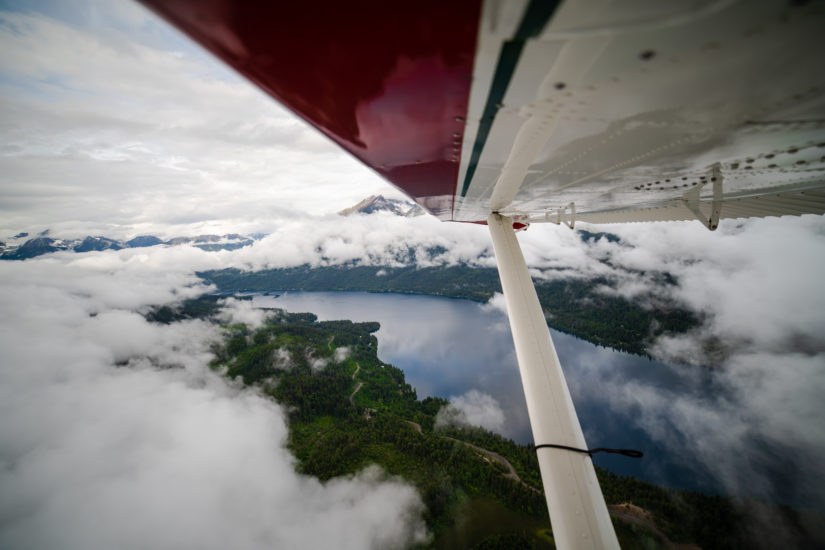
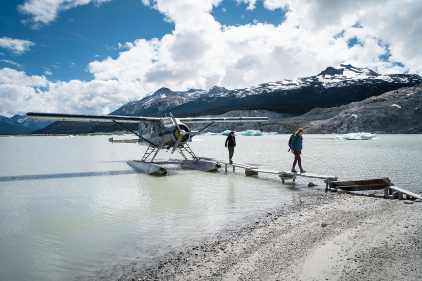
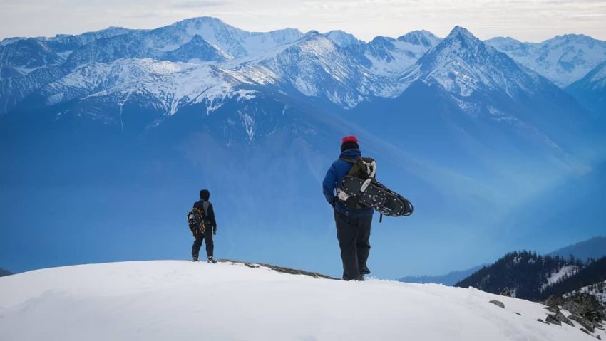
Nestled in the Bridge River Valley among the towering peaks of the South Chilcotin Mountains, Seton Portage, Gold Bridge and Bralorne await history buffs who enjoy poking around old ghost towns and abandoned mines, as well as outdoor enthusiasts who will appreciate the valley’s fishing, hunting, mountain biking and rugged mountain beauty. Outdoor lovers appreciate the valley for its fishing, hunting, numerous alpine lakes and rugged mountain vistas. In addition, resorts are scenically situated on the shores of several local lakes, with air-assisted mountain biking a popular activity, along with phenomenal hiking, horseback riding, snowmobiling and heli-skiing. Summer and winter adventures await at Wilderness Trails, Tyax Adventures, and Tyax Lodge & Heliskiing. It’s a good idea to check the conditions of the road before setting out as it is a gravel road that can be adversely affected by the weather.
Lillooet is located at the foot of the Coast Mountain range with roads carved out of mountainsides and ever changing views of the Fraser River. The St’át’imc (STAH-tleum) Nation has called this area home for over 8,000 years, with the fertile valley still an ideal location for hunting, fishing and gathering. With the discovery of gold, Lillooet became “Mile 0” of the original Cariboo Waggon Road and one of the epicentres of the Fraser River Gold Rush. As one of the most important supply locations along the Gold Rush Trail, Lillooet grew quickly and by 1860, Lillooet’s burgeoning population was nearly 15,000 with lively saloons, shops and dwellings. It wasn’t just gold that attracted newcomers, the town also became the largest exporter of nephrite jade in the world. No matter the direction you’re coming from, the drive to Lillooet is guaranteed to be beautiful. Easy access to mountain biking, fishing, backpacking, and boating make Lillooet a perfect playground in spring, summer and fall, while winter boasts unprecedented ice climbing, heli-skiing and snowmobiling. For our history buffs, there is Lillooet’s Golden Miles of History Tour that is named for the wealth of gold dust mined from the downtown section of Main Street that also became the supply hub for the Cariboo Goldfields.
- Take in the local St’át’imc culture with a tour at Xwisten Experience Tours or roam the boardwalks and buy locally made botanical products at Splitrock Environmental.
- Stop at the viewpoint overlooking the picturesque emerald-green waters of Seton Lake Reservoir and the surrounding Chilcotin Range. Near the viewpoint, you may be able to see evidence of kekulis, underground spectacular homes built by the interior Salish-speaking St’át’imc people inhabiting the area since time immemorial. A short, self-guided interpretive trail provides history of the Lillooet area.
- Lillooet’s geography, soil, hot summers and mild winters make this area one of Canada’s premier agricultural regions with anything from grapes, stone fruit to hops being grown in the area. Visit during July’s Apricot Tsaqwen Festival or in September for the annual Harvest Festival.
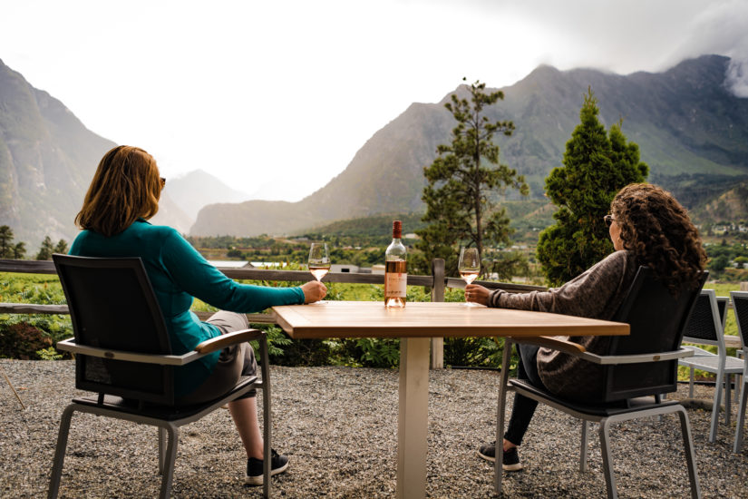
- A trip to Lillooet is not complete without a stop at the award-winning Fort Berens Estate Winery, or the Abundance Artisan Bakery with its fresh baked goods and delicious coffee.
- Hire a guide and cast a line in the Fraser River for the dinosaur of the deep, the White Sturgeon. This protected species is the largest freshwater fish in North America.
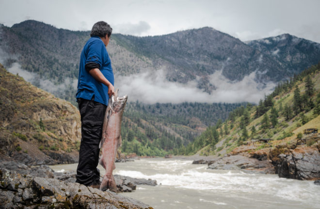
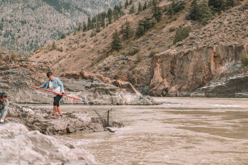
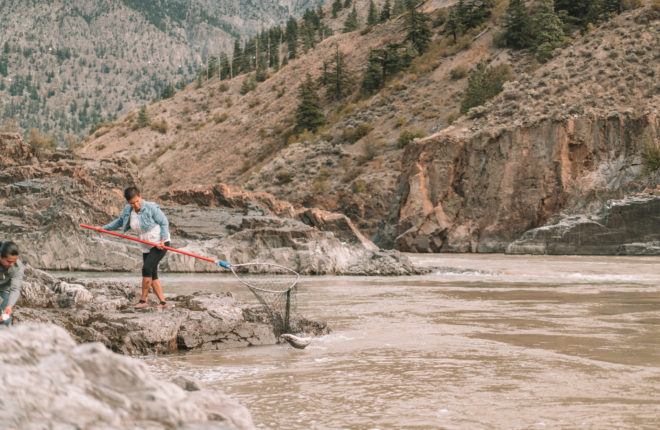
In the southern Chilcotin (chil-ko-tin), no fewer than 11 different communities make up the St’át’imc Nation, whose traditional territories were located in and around an ancient gathering place now known as Lillooet and their traditional territory extends to the Bridge River Valley. Here today, Xwisten (hoysh-ten) Experience Tours is located on the site of Xwisten (Bridge River First Nation) traditional fishing grounds where every summer local St’át’imc (Stat-leeum) First Nations gather to dip-net sockeye salmon at the confluence of the Fraser and Bridge Rivers. Xwisten Experience Tours offers award-winning guided excursions that include walks along the banks of Fraser to view the Bridge River fishing rocks and the traditional wind-dried method of preserving salmon and to their archaeological village site.
- Take a guided tour of the Xwisten Fishing Grounds, the past and current fishing area of the Xwisten people. Learn about the traditional wind-dried method of preserving the salmon still used by its people today. To end the tour, partake in a Salmon BBQ, complete with salmon, rice, salad, and bannock. Dessert is a traditional dish of whipped berries (sxúsum).
- Take part in a tour of an extensive archaeological village site which contains over 80 identified pit houses or s7ístken (shesh-ken), the traditional winter homes of the St’át’imc people.
- If you’re just passing be sure to stop in at the delicous Bearfoot Grill for lunch or a snack.
Once the site of a unique railway system, Seton Portage is a historic rural community located 25 km/15.5 mi by boat (78 km/48 mi by road over Mission Mountain) west of Lillooet, between Seton and Anderson Lakes. During the Fraser Canyon Gold Rush of 1858 to1860, nearly 30,000 prospectors, following what was then known as the ‘Lakes Route’ from the Lower Mainland, swept through the narrow strip of land and a wooden rail link that was built connecting the two lakes, as they pushed north to the goldfields.There are two St’at’imc First Nations communities, comprising several individual Indian reserves of the Seton Lake First Nation, at either end of the Portage, with the intervening area and some of the Anderson Lake shoreline taken up by a small non-indigenous recreational community, including a couple of orchards and small farms. There are two motels, a store, a provincial park campground and heritage site, and a pub for you to enjoy.
- Don’t miss the Seton Lake Band’s Kaoham Shuttle (featured in BBC Travel), a travelling window into the past and a convenient way to view local wildlife. The train runs Fridays, with a scheduled double-run, skirting the shores of Seton Lake past numerous historical sites, including an Indigenous cemetery precariously located between the tracks and the lake’s crystalline banks.
- Fishing, hiking, and boating are popular activities in the area.
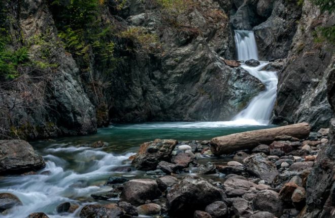
Nestled in the Bridge River Valley among the towering peaks of the South Chilcotin Mountains, Gold Bridge is located 105 km/65.2 mi west of Lillooet. This small town sprang to life during the Great Depression with the opening of a large gold mine in nearby Bralorne in 1932. Gold Bridge is the hub of the Bridge River Valley and is where most of the services are located, such as the Post Office, Library, School & General Store. Gold Bridge is the gateway to countless lakes, such as Tyaughton Lake, Marshall Lake and Gun Lake. History buffs visiting the area will enjoy visiting old ghost towns and abandoned mines, while the area is home to a large variety of outdoor activities such as fishing, hunting, mountain biking, hiking and hut to hut horseback riding trips.
- The area offers multi-use trails and is the base for heli-skiing excursions with Tyax Lodge & Heliskiing, air assisted mountain biking and backcountry exploration. There are a number of resorts, backcountry outfitters and guided tours available.
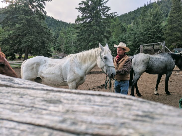
- If you are up for an adventure head out on the vast hiking, biking and horseback riding trail networks throughout the taking you to Spruce Lake, Cinnabar Ridge, Taylor Basin, Mud Lakes and the Shulaps Range. You are at the gateway to the South Chilcotin Mountains Provincial Park!
- Visit Haylmore Heritage Site, the former home of prospector and mine recording officer for Gold Bridge Will Haylmore. The site is open May to September offering half day tours, gold panning and local arts and crafts at the Rockwall Gallery.
- Participate in Winterfest; a fun event for the whole family on Little Gun Lake. Held over the BC Family Day long weekend in February, it includes outdoor Hockey, Curling, Ice Fishing and kids activities There are also Canada Day Celebrations and a Summerfest.
- If you are up for an adventure head out on the vast hiking, biking and horseback riding trail networks throughout the taking you to Spruce Lake, Cinnabar Ridge, Taylor Basin, Mud Lakes and the Shulaps Range. You are at the gateway to the South Chilcotin Mountains Provincial Park!
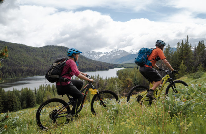
Just 20 minutes south of Gold Bridge in the Bridge River Valley lies the community of Bralorne, which as a mining town during the Great Depression with the opening of the Bralorne Pioneer Mine in 1932. Producing more than four million ounces before it closed in 1971, it was the richest gold mine in Canadian history and prompted the construction of a town, schools, churches, post office, houses, recreation halls, and hunting lodges. The mine, abandoned for many years, reopened in 2011 due to high gold prices and is producing gold once again. Located at the base of Mount Ferguson, Bralorne hosts a small population, and as the highest community in the valley offers ample opportunity for summer hiking and mountain biking, with old mining routes providing fun multi-use trails.
- The Bralorne Pioneer Museum, church, community hall and abandoned mine sites and ghost towns all provide a fascinating glimpse into Gold Rush History for those history buffs out there.
- If you are interested in exploring the outdoors you will appreciate the valley’s fishing, hunting, rockhounding, and rugged mountain beauty.
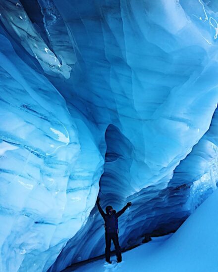
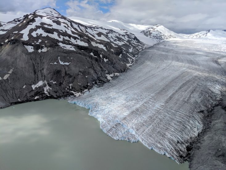
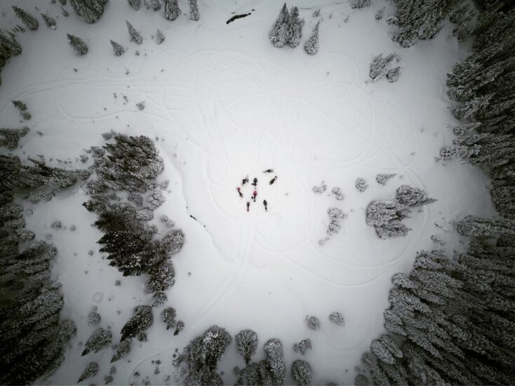
- Nearby lakes have resorts along their shores and mountain biking is a popular activity. Snowmobiling on spectacular glaciers is an irresistible draw for winter enthusiasts and the phenomenal heli-skiing keeps backcountry skiers coming back for more. The Bralorne Adventure Lodge is your perfect base!
- Hidden away behind Bralorne, you can check out the ghost town of Bradian. Bradian was once a bustling hub during the gold rush in the 1930s when millions of dollars poured in from the Bralorne mine.
